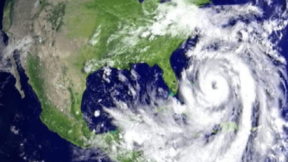
Hurricane Ian was predicted to strengthen to a Category 4 storm as it targets Florida. According to the National Hurricane Center, the hurricane made landfall in Cuba about 4:30 a.m. Tuesday just southwest of La Coloma in the western province of Pinar del Río with maximum sustained winds of 125 mph.
Forecasters expect the storm to continue to intensify as it makes it way north toward the west coast of Florida. Tampa and St. Petersburg had appeared to be among the most likely targets for their first direct hit by a major hurricane in a century, but path projection now show Ian expected to hit further south along the coast. Mandatory and voluntary evacuation orders are in place in eight Florida counties: Charlotte, Hillsborough, Levy, Lee, Manatee, Pasco, Pinellas and Sarasota. Ian is expected to bring 6 to 12 inches of rain to central-west Florida, 4 to 8 inches to the rest of the peninsula and 4 to 6 inches to the Keys through Thursday. Winds of at least 130 mph are probable.
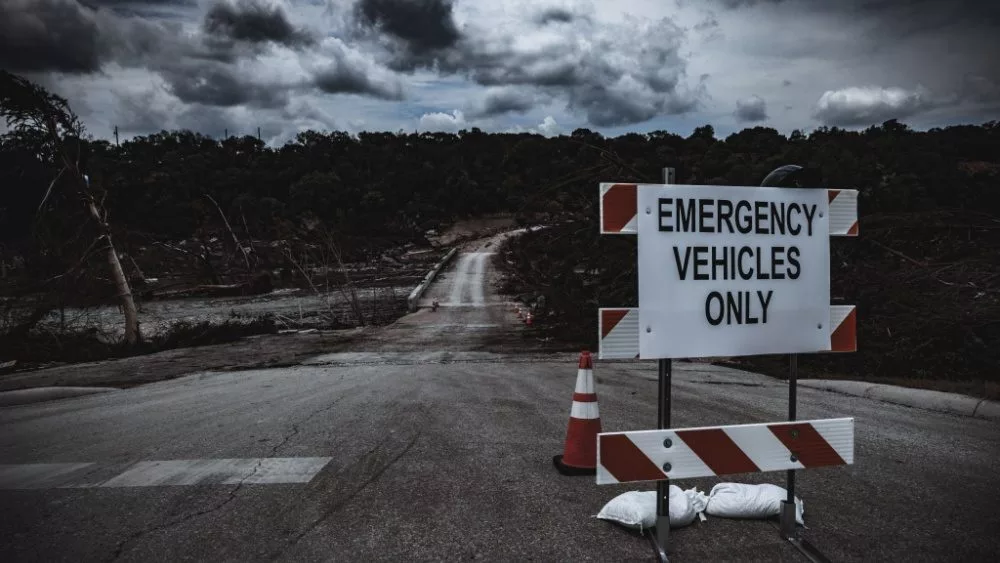
With hurricane-force winds extending 40 miles out from its center Tuesday evening, it is anticipated that more areas of Florida will be exposed to dangerous storm impacts once the storm moves onshore in about 24 hours. Florida Gov. Ron DeSantis said in a Tuesday evening news conference: “You’re going to see impacts all the way to the east coast of Florida. This thing is the real deal. It is a major, major storm. This is going to be a lot of impacts that will be felt far and wide throughout the state of Florida. As the storm moves in, you’re going to potentially have (evacuation) directives issued from folks in the interior of our state or even the east coast of the state for low-lying areas that absolutely could end up flooding …Heed those instructions.”
Editorial credit: Harvepino / Shutterstock.com